Seven minute reading time.
I have gone on many impressive hikes during my time, but the Gunnison Route in Black Canyon of the Gunnison National Park was definitely one of the hardest hikes I have ever completed. In this post, I will be taking you through everything you need to know in order to have your own adventure in the park.
What is Black Canyon of the Gunnison National Park?
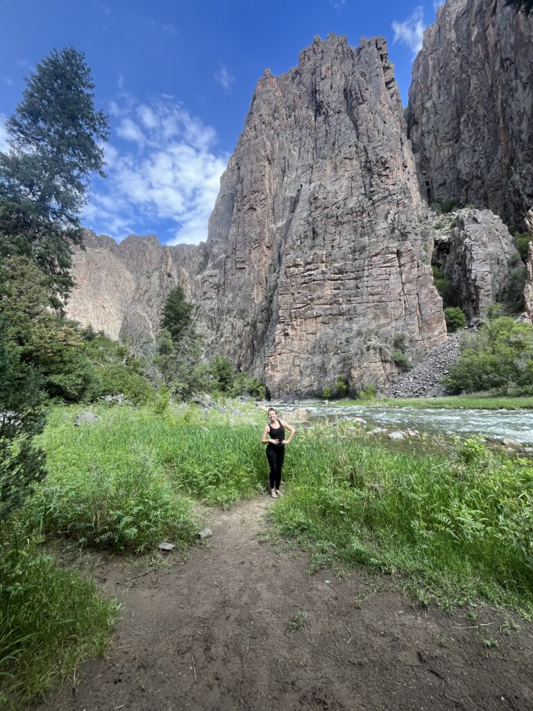
Black Canyon of the Gunnison is a national park located about five hours west of Denver. It is located near the town of Montrose. The Black Canyon is an incredibly steep and jagged canyon that was carved millenia ago by the Gunnison River.
Note: Looking to expand your trip? There are many different routes you could take, but Zion National Park is another spectacular adventure park that would definitely be worth adding to your bucket list!
Black Canyon is truly spectacular. It is difficult to photograph, which is why I believe it is still considered a hidden gem. In person, the jagged peaks are absolutely stunning.
What is there to do at Black Canyon of the Gunnison National Park?
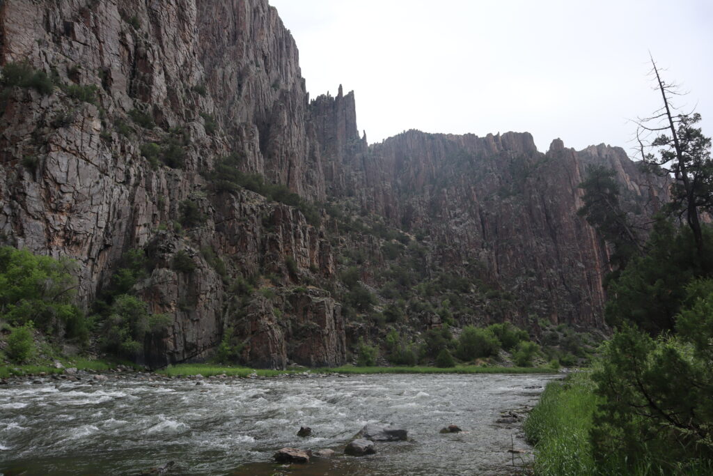
Black Canyon is an interesting national park. There is a beautiful road to explore with several small trails, and the length of the scenic drive can be completed in two to three hours. The park is split between the South Rim and North Rim, and there are hikes and scenic overviews on each side of the canyon.
However, the most adventurous activity in Black Canyon of the Gunnison National Park is definitely hiking into the canyon. This is truly an ultimate adventure-there are no marked trails, the hikes are insanely steep, and there are limited permits.
What are the options for inner canyon hiking?
There are three routes for hiking down into the river from the South Rim, and three from the North Rim.
Note: the NPS website has a wonderful video detailing each of the hikes in more depth!
South Rim Routes
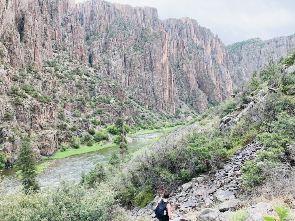
The Gunnison Route is the most popular route, and the route we chose. While the trail is not officially marked, we found it easy to stay on the popular social trail down to the river. I discuss the Gunnison Route more below. This route accepts 15 hikers each day.
The Warner Route is the longest route to hike down to the river, and the NPS encourages camping at the bottom. There are 23 permits given out for the Warner Route each day.
The Tomichi Route is the steepest route along the South Rim, and is all exposed and loose rock. During the briefing we received to obtain our permit, the ranger discouraged hikers to take the Tomichi Route unless they had some climbing experience. There are 9 permits given out for the Tomichi Route each day.
North Rim Routes
The S.O.B. Route is the most popular North Route, but is still a daunting journey. The route is known for poison ivy. When we were driving the scenic road, we saw campers from the S.O.B. Route. The campsites looked absolutely beautiful, and definitely had more beach availability than some of the other routes. The S.O.B. route distributes 23 permits each day.
Long Draw travels down through a very narrow crevice in the canyon, and the NPS website shares that there is plenty of shade along this route. The Long Draw distributes 8 permits each day.
Slide Draw is also incredibly narrow, and is the steepest route along the North Rim. The NPS website recommends being prepared for very loose rocks. The route has 11 permits given out each day.
Ok, so those are the routes! I would recommend thinking about what your experience level is with hiking on unmarked trails as well as your experience with hiking on loose rock. All of these routes are incredibly difficult, both technically and aerobically.
How Do You Get Permits?
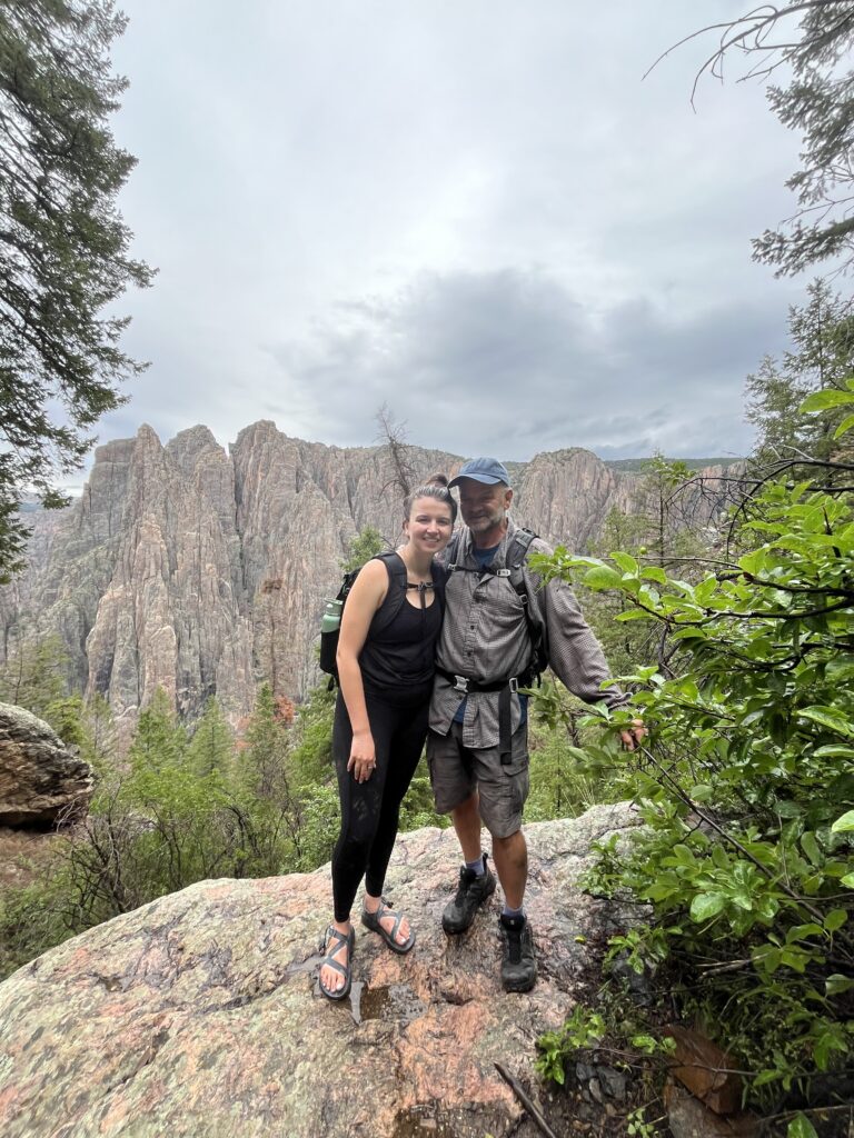
There are several different ways to get permits. If you are hiking on the North Rim or are hiking during the off season (September-May), you can receive your permit starting as soon as the visitor center opens. If you are hiking during the busy season, there is a briefing at 3:30 the day before your anticipated hike date. To guarantee your spot, you can obtain your permit then.
We were convinced we would not get a permit because we had read so much online about how it is difficult to obtain one during the summer months. We had not planned on doing the hike at all, and just happened to be at the visitor center when the safety talk was happening and the permits were being distributed. After listening to the safety talk out of curiosity, we had no issue receiving a permit for the Gunnison Route at the end of June. I am sure there are times when the route is more popular, but this was our experience getting a permit on the most popular route during the busy season.
Now, I will share my experience with the Gunnison Route, in the hopes of giving you information to help you plan your own trip!
General Gunnison Route Hike Overview
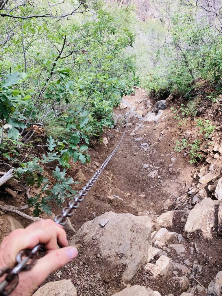
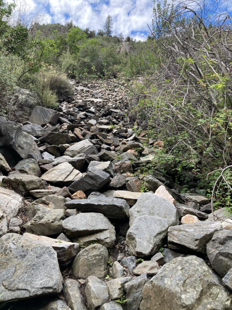
The hike follows a pretty established trail until you reach a chain about ⅓ of the way down. This chain signifies the point in the route where things become a whole lot more intense. After the chain, the trail continues on through a large field of loose rocks until you make your way to the river.
Going into the hike, I was mostly worried about losing the trail, but thankfully this was not a huge issue! The Gunnison Route is popular enough that there is a clear route, and we never got lost or had to retrace our steps. There are no markers, but following the trail was not a huge issue for us.
The more challenging part of the hike was the elevation change and loose scree (small rocks) along the trail. This trail is insanely steep, and going down a steep trail with moving rocks and unstable ground was intense. I fell multiple times (nothing too serious) and had plenty of cuts and bruises along the way.
Going up was insanely difficult as well. We went a day after a rainstorm, and it was super muddy for parts of our hike. There were moments where the trail was so steep and slippery that I was quite literally crawling on my hands and knees up the cliff.
The ranger at the station told us that the number one cause of rescue on these routes involves heat exhaustion, and after doing the hike I can see why. The trail is very exposed, and hiking up can be exhausting.
Is the view worth it for this epically hard hike?
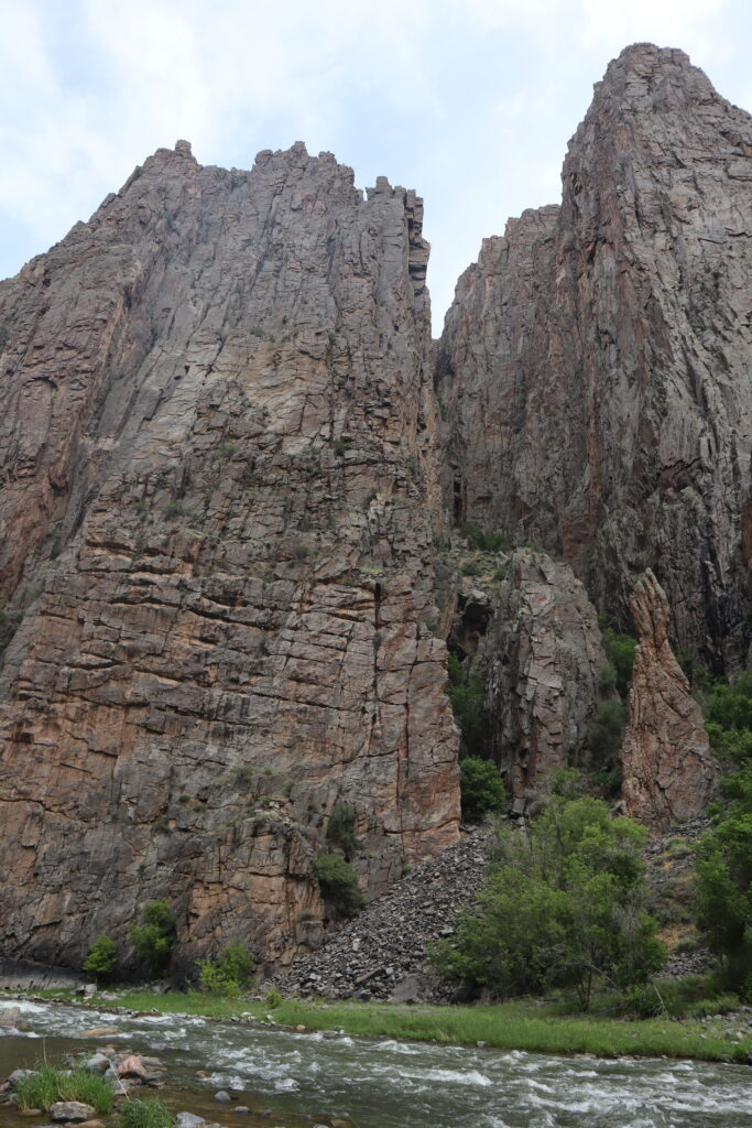
In my opinion, this hike is absolutely worth the struggle it takes to get down into the canyon. Driving the rim road really only shows a small part of the overall canyon, and you will have a much better appreciation for the canyon, how steep it is, and how strong the river is after seeing it from the bottom.
Very few people get to experience Black Canyon of the Gunnison from the bottom of the canyon, and that definitely made the view even more special.
Have you done another route in Black Canyon of the Gunnsion? Do you have questions or advice? Let me know in the comments, or check out the NPS website!
